Vision-RTK 2
Built for precise positioning in GNSS degraded and denied areas and places.
Industry Challenge
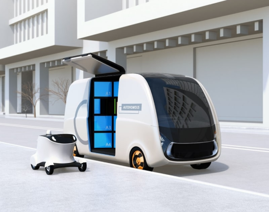
Utility robots:
Faster + less contact
From driverless shuttles to agricultural and urban robots, we are entering the age of autonomous machines. Each have a common challenge: knowing precisely where they are both indoors and outside, as well as in cities or under tree canopies.
GNSS degrades between buildings
GNSS degrades between trees
GNSS degrades under bridges
mission
Customer benefits from using Vision-RTK 2
With ORIENTATION’s solution, a utility robot’s navigation system can rely on other sources of information to establish a precise location, even when GNSS signals are blocked. In addition to the most accurate commercially available satellite positioning technology, RTK-GNSS (Real-time kinematic positioning), the Vision-RTK 2 fuses positioning data from inertial sensors, computer vision and optional wheel tick dead reckoning.
This ensures that accurate positional data is available all the time, even in the absence of satellite visibility. At 135 g and only 90 x 72 x 25 mm, the solution is compatible with even the smallest and lightest utility robots and drones.
This ensures that accurate positional data is available all the time, even in the absence of satellite visibility. At 135 g and only 90 x 72 x 25 mm, the solution is compatible with even the smallest and lightest utility robots and drones.
contact
Get in contact with us
Thank you! Your submission has been received!
Oops! Something went wrong while submitting the form.
